

Darcha topographic map
Click on the map to display elevation.
Darcha
Darcha (elevation 3,360 m or 11,020 ft) is a pair of villages (Darcha Sumdo and Darach Dangma) on the Bhaga River in the Lahaul sub-division in the Lahaul and Spiti district in the Indian state of Himachal Pradesh. It is the northernmost permanent settlement in Himachal Pradesh along the Manali-Leh Highway. With the opening of the Atal Tunnel, Darcha is likely to see a large influx of tourists as it is now connected to Manali throughout the year. The Nimmu–Padam–Darcha road which is being constructed, will improve connectivity of Kargil, Zanskar and Leh District of Ladakh to Darcha.
About this map
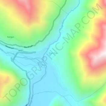
Name: Darcha topographic map, elevation, terrain.
Location: Darcha, Lahaul, Lahaul and Spiti, Himachal Pradesh, India (32.65409 77.19595 32.69409 77.23595)
Average elevation: 3,702 m
Minimum elevation: 3,284 m
Maximum elevation: 4,563 m