
Island of Gorée topographic map
Interactive map
Click on the map to display elevation.
About this map
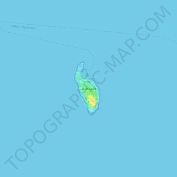
Name: Island of Gorée topographic map, elevation, terrain.
Average elevation: 0 m
Minimum elevation: 0 m
Maximum elevation: 26 m
Recently, Hamady Bocoum et Bernard Toulier published an article "The Fabrication of Heritage: the case of Gorée (Senegal)" (in French: "La fabrication du Patrimoine. l’exemple de Gorée (Sénégal)") documenting the elevation of Gorée to an emotionally charged memorial of the transatlantic slave trade for touristic reasons. This was spearheaded by the Senegalese government, begun under President Léopold Sédar Senghor, who had tasked his special appointee Ndiaye with this goal. In 2013, journalist Jean Luc Angrand chronicled how Ndiaye began his lobbying campaign among African-American communities in the US, as he tried to capitalize on their desire to look for their own heritage in Africa that arose in the 1970s. This interest surged after the impact of the TV series Roots, which was most acutely felt among African-American viewers. For this reason Ndiaye exaggerated the importance of Senegal, and Gorée in particular, by claiming that no less than 20 million enslaved Africans were shipped from there.