Geolocate

Sieber topographic map

Click on the map to display elevation.

About this map
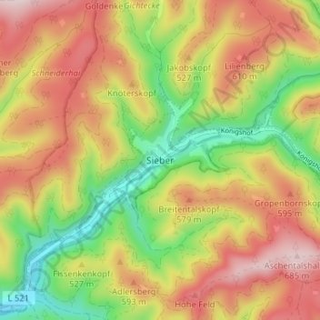
Name: Sieber topographic map, elevation, terrain.

Location: Sieber, Herzberg, Landkreis Göttingen, Lower Saxony, Germany (51.67830 10.40502 51.71830 10.44502)

Average elevation: 503 m

Minimum elevation: 302 m

Maximum elevation: 699 m

Gear up for your next adventure:

⛺Camping Shelters - Emergency and lightweight shelters for outdoor use
📚UK Hiking Guidebooks - Detailed route descriptions for the Lake District, Peaks, and Highlands
🧭Professional Hiking Compasses - High-precision liquid-filled compasses for map reading and orientation
🚲Cycling GPS Computers - Track elevation and topographic routes on two wheels
🌄Compact Monoculars - Lightweight optics for hiking

As an Amazon Associate, this site earns from qualifying purchases at no extra cost to you.