Geolocate

Addison topographic map

Click on the map to display elevation.

About this map

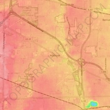
Name: Addison topographic map, elevation, terrain.

Location: Addison, DuPage County, Illinois, United States (41.90503 -88.05225 41.95860 -87.95997)

Average elevation: 214 m

Minimum elevation: 149 m

Maximum elevation: 232 m

Gear up for your next adventure:

🔦Waterproof LED Headlamps - Hands-free lighting for evening treks and emergency navigation
📻Hand-Crank Emergency Radios - Stay updated on weather warnings in remote areas
🔭Compact Hiking Binoculars - Lightweight optics for scouting terrain and spotting wildlife
🔦LED Camping Lanterns - Illumination for reading maps inside your tent at night
🧥Softshell Jackets - Breathable jackets for active outdoor use

As an Amazon Associate, this site earns from qualifying purchases at no extra cost to you.