Geolocate

Lezzara topographic map

Click on the map to display elevation.

About this map
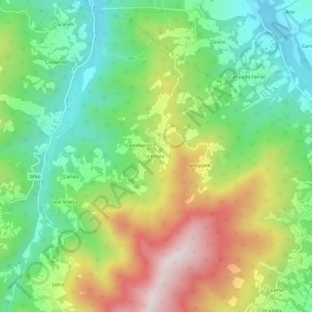
Name: Lezzara topographic map, elevation, terrain.

Location: Lezzara, Bardi, Parma, Emilia-Romagna, 43032, Italy (44.57085 9.70062 44.61085 9.74062)

Average elevation: 652 m

Minimum elevation: 410 m

Maximum elevation: 1,031 m

Gear up for your next adventure:

🧺Microfibre Travel Towels - Fast-drying and compact towels for wild swimming and camping
🧷Tenacious Repair Tape - Instant fix for torn tents, jackets, or dry bags
🧥Breathable Waterproof Jackets - Essential rain protection for the unpredictable British climate
🧭Orienteering Compasses - Accurate compasses for map-based navigation
🧼Camping Hygiene Kits - Compact hygiene essentials for outdoor stays

As an Amazon Associate, this site earns from qualifying purchases at no extra cost to you.