
Riley Black Standpipe, Mount topographic map
Interactive map
Click on the map to display elevation.
About this map
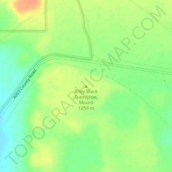
Name: Riley Black Standpipe, Mount topographic map, elevation, terrain.
Average elevation: 1,254 m
Minimum elevation: 1,235 m
Maximum elevation: 1,272 m
Other topographic maps
Click on a map to view its topography, its elevation and its terrain.
Las Cruces
United States > New Mexico > Doña Ana County
Las Cruces, Doña Ana County, New Mexico, United States
Average elevation: 1,297 m