Geolocate

Humboldt topographic map

Click on the map to display elevation.

About this map

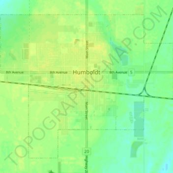
Name: Humboldt topographic map, elevation, terrain.

Location: Humboldt, Division No. 15, Saskatchewan, Canada (52.18022 -105.15854 52.21654 -105.08726)

Average elevation: 566 m

Minimum elevation: 556 m

Maximum elevation: 574 m

Other topographic maps

Click on a map to view its topography, its elevation and its terrain.

Carmel

Canada > Saskatchewan > Division No. 15 > Humboldt No. 370

Average elevation: 573 m

Gear up for your next adventure:

🥤Hydration Bladders - Hands-free hydration systems for backpacks
🧥Softshell Jackets - Breathable jackets for active outdoor use
🎒Hiking Child Carriers - Explore the outdoors with the whole family safely
🥾Trekking Poles - Poles to improve stability on uneven terrain
🥾Hiking Boots - Waterproof and durable boots for long-distance hiking in the UK

As an Amazon Associate, this site earns from qualifying purchases at no extra cost to you.