
Farr topographic map
Interactive map
Click on the map to display elevation.
About this map
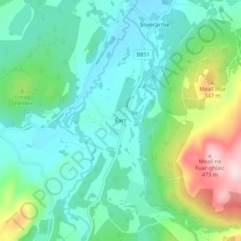
Name: Farr topographic map, elevation, terrain.
Location: Farr, Highland, Scotland, IV2 6XJ, United Kingdom (57.34948 -4.21166 57.38948 -4.17166)
Average elevation: 250 m
Minimum elevation: 174 m
Maximum elevation: 480 m