
Hotagi topographic map
Interactive map
Click on the map to display elevation.
About this map
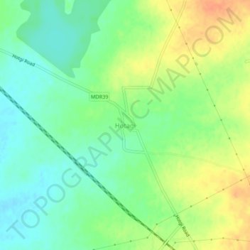
Name: Hotagi topographic map, elevation, terrain.
Location: Hotagi, Solapur South, Solapur, Maharashtra, India (17.57065 75.95465 17.61065 75.99465)
Average elevation: 459 m
Minimum elevation: 442 m
Maximum elevation: 481 m
Other topographic maps
Click on a map to view its topography, its elevation and its terrain.
Nandani
India > Maharashtra > Solapur South
Nandani, Solapur South, Solapur, Maharashtra, India
Average elevation: 445 m
Kumbhari
India > Maharashtra > Solapur South
Kumbhari, Solapur South, Solapur, Maharashtra, 413006, India
Average elevation: 480 m