
Neeltje Jans topographic map
Interactive map
Click on the map to display elevation.
About this map
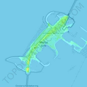
Name: Neeltje Jans topographic map, elevation, terrain.
Location: Neeltje Jans, Vrouwenpolder, Veere, Zeeland, Netherlands (51.61429 3.66761 51.64413 3.73190)
Average elevation: 1 m
Minimum elevation: -1 m
Maximum elevation: 19 m
Low altitude aerial view