
Boughrood topographic map
Interactive map
Click on the map to display elevation.
About this map
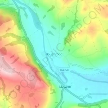
Name: Boughrood topographic map, elevation, terrain.
Location: Boughrood, Powys, Wales, LD3 0YG, United Kingdom (52.02544 -3.29225 52.06544 -3.25225)
Average elevation: 176 m
Minimum elevation: 85 m
Maximum elevation: 333 m