Geolocate

Semiliguda topographic map

Click on the map to display elevation.

About this map

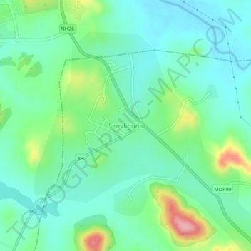
Name: Semiliguda topographic map, elevation, terrain.

Location: Semiliguda, Similiguda, Koraput, Odisha, 764036, India (18.68644 82.83123 18.72644 82.87123)

Average elevation: 897 m

Minimum elevation: 855 m

Maximum elevation: 1,012 m

Gear up for your next adventure:

🧥Packable Down Jackets - Lightweight warmth that compresses small in your bag
🛌Sleeping Bags - Warm and packable sleeping bags for outdoor nights
🧤Hiking Gloves - Warm and durable gloves for cold-weather walks
🧺Mesh Stuff Sacks - Breathable storage for wet gear or camp organization
🗺️Ordnance Survey Maps - Official UK maps for walking and outdoor activities

As an Amazon Associate, this site earns from qualifying purchases at no extra cost to you.