
Alfter topographic map
Interactive map
Click on the map to display elevation.
About this map
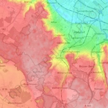
Name: Alfter topographic map, elevation, terrain.
Location: Alfter, Rhein-Sieg-Kreis, North Rhine-Westphalia, 53347, Germany (50.66144 6.95837 50.75658 7.04425)
Average elevation: 136 m
Minimum elevation: 52 m
Maximum elevation: 183 m