
Sondur Dam topographic map
Interactive map
Click on the map to display elevation.
About this map
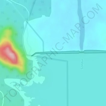
Name: Sondur Dam topographic map, elevation, terrain.
Location: Sondur Dam, Nagri Tahsil, Dhamtari, Chhattisgarh, India (20.22710 82.08863 20.22874 82.12068)
Average elevation: 472 m
Minimum elevation: 447 m
Maximum elevation: 659 m