

Andes topographic map
Click on the map to display elevation.
Andes
Andes is a municipality and town in the Antioquia Department, Colombia. Part of the sub-region of Southwestern Antioquia, it is located on the western Colombian Andes mountain range. Andes was founded on 13 March 1852 by Pedro Antonio Restrepo Escobar. Its elevation is 1,360 metres above sea level with an average temperature of 22 °C. The distance reference from Medellín city, the capital of Antioquia Department, is 117 km and it has a total area of 402.5 km2. This town is well known for being the place where Gonzalo Arango a writer, philosopher and Antioquian journalist was born. The more significantly source of its economy is agriculture, mainly coffee cultivation.
About this map
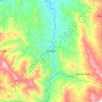
Name: Andes topographic map, elevation, terrain.
Average elevation: 1,559 m
Minimum elevation: 1,171 m
Maximum elevation: 2,111 m
Other topographic maps
Click on a map to view its topography, its elevation and its terrain.
