
Bredene topographic map
Interactive map
Click on the map to display elevation.
About this map
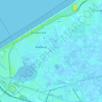
Name: Bredene topographic map, elevation, terrain.
Location: Bredene, Ostend, West Flanders, Flanders, 8450, Belgium (51.21437 2.94155 51.26335 3.01257)
Average elevation: 2 m
Minimum elevation: -2 m
Maximum elevation: 23 m