
Kew topographic map
Click on the map to display elevation.
About this map
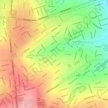
Name: Kew topographic map, elevation, terrain.
Average elevation: 1,601 m
Minimum elevation: 1,517 m
Maximum elevation: 1,664 m
Other topographic maps
Click on a map to view its topography, its elevation and its terrain.
Northcliff Koppie
South Africa > Gauteng > City of Johannesburg Metropolitan Municipality > Johannesburg
Average elevation: 1,697 m
City of Johannesburg Metropolitan Municipality
South Africa > Gauteng > City of Johannesburg Metropolitan Municipality
Average elevation: 1,615 m