
Devil Mountain topographic map
Interactive map
Click on the map to display elevation.
About this map
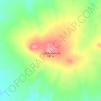
Name: Devil Mountain topographic map, elevation, terrain.
Location: Devil Mountain, Nome, Alaska, United States (66.29597 -164.52422 66.29607 -164.52412)
Average elevation: 145 m
Minimum elevation: 82 m
Maximum elevation: 242 m
Other topographic maps
Click on a map to view its topography, its elevation and its terrain.