
Aliceville topographic map
Interactive map
Click on the map to display elevation.
About this map
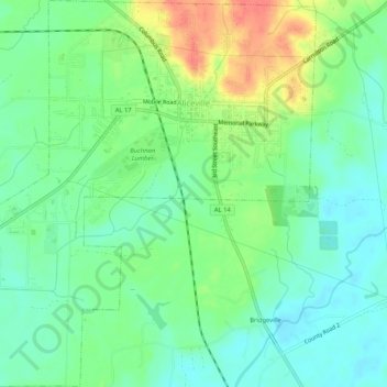
Name: Aliceville topographic map, elevation, terrain.
Location: Aliceville, Pickens County, Alabama, 35442, United States (33.09727 -88.18115 33.14098 -88.13508)
Average elevation: 54 m
Minimum elevation: 35 m
Maximum elevation: 89 m