
Sarti topographic map
Interactive map
Click on the map to display elevation.
About this map
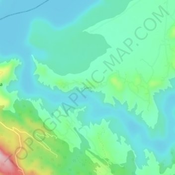
Name: Sarti topographic map, elevation, terrain.
Location: Sarti, Dhar Kalan Tahsil, Pathankot district, Punjab, India (32.42403 75.76412 32.46403 75.80412)
Average elevation: 529 m
Minimum elevation: 464 m
Maximum elevation: 767 m