
Labelle topographic map
Click on the map to display elevation.
About this map
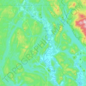
Name: Labelle topographic map, elevation, terrain.
Average elevation: 306 m
Minimum elevation: 193 m
Maximum elevation: 863 m
Other topographic maps
Click on a map to view its topography, its elevation and its terrain.
Mont Sainte-Agathe
Canada > Quebec > Les Laurentides > Sainte-Agathe-des-Monts
Average elevation: 448 m
Lac de la Poche
Canada > Quebec > Les Laurentides > Mont-Tremblant > Lac-Tremblant-Nord
Average elevation: 299 m
Mont Kaaikop
Canada > Quebec > Les Laurentides > Sainte-Lucie-des-Laurentides
Average elevation: 620 m