
Cabeça Gorda topographic map
Interactive map
Click on the map to display elevation.
About this map
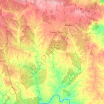
Name: Cabeça Gorda topographic map, elevation, terrain.
Location: Cabeça Gorda, Beja, Portugal (37.83841 -7.85421 37.96604 -7.74734)
Average elevation: 162 m
Minimum elevation: 74 m
Maximum elevation: 229 m