
Dannemora topographic map
Interactive map
Click on the map to display elevation.
About this map
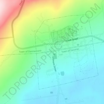
Name: Dannemora topographic map, elevation, terrain.
Location: Dannemora, Clinton County, New York, 12929, United States (44.70991 -73.73031 44.72989 -73.70599)
Average elevation: 445 m
Minimum elevation: 353 m
Maximum elevation: 666 m