
Providence Canyon topographic map
Interactive map
Click on the map to display elevation.
About this map
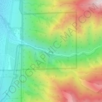
Name: Providence Canyon topographic map, elevation, terrain.
Average elevation: 1,829 m
Minimum elevation: 1,491 m
Maximum elevation: 2,361 m
Other topographic maps
Click on a map to view its topography, its elevation and its terrain.
Hyrum
United States > Utah > Cache County
Hyrum, Cache County, Utah, 84319, United States
Average elevation: 1,439 m
Logan
United States > Utah > Cache County
Logan, Cache County, Utah, United States
Average elevation: 1,498 m