
Augst topographic map
Interactive map
Click on the map to display elevation.
About this map
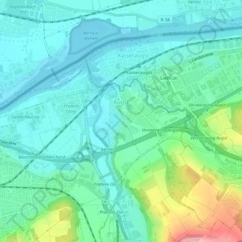
Name: Augst topographic map, elevation, terrain.
Location: Augst, Bezirk Liestal, Basel-Country, 4302, Switzerland (47.52267 7.68682 47.53978 7.73428)
Average elevation: 295 m
Minimum elevation: 258 m
Maximum elevation: 419 m