Geolocate

Bee Ridge topographic map

Click on the map to display elevation.

About this map

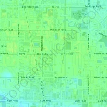
Name: Bee Ridge topographic map, elevation, terrain.

Location: Bee Ridge, Sarasota County, Florida, 34233, United States (27.26914 -82.48933 27.29888 -82.45154)

Average elevation: 13 m

Minimum elevation: 6 m

Maximum elevation: 16 m

Gear up for your next adventure:

🧢Waterproof Hiking Hats - Keep the rain off your face while studying topographic maps
🥫Expedition Meals - Lightweight, high-calorie nutrition for long-distance hikers
🔦Keychain LED Torches - Emergency backup light for finding gear in your pack
📐Altimeters & Barometers - Tools for measuring altitude and air pressure
🧭GPS Trackers - Tracking devices for safety and navigation

As an Amazon Associate, this site earns from qualifying purchases at no extra cost to you.