
Supiori topographic map
Interactive map
Click on the map to display elevation.
About this map
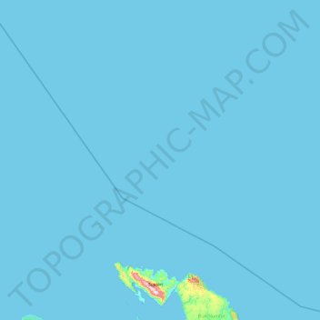
Name: Supiori topographic map, elevation, terrain.
Location: Supiori, Papua, Western New Guinea, Indonesia (-0.96751 134.29938 0.93803 135.80363)
Average elevation: 6 m
Minimum elevation: 0 m
Maximum elevation: 929 m
Other topographic maps
Click on a map to view its topography, its elevation and its terrain.