
Northeim topographic map
Interactive map
Click on the map to display elevation.
About this map
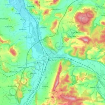
Name: Northeim topographic map, elevation, terrain.
Location: Northeim, Landkreis Northeim, Lower Saxony, 37154, Germany (51.64184 9.88945 51.78980 10.11906)
Average elevation: 176 m
Minimum elevation: 102 m
Maximum elevation: 350 m