
Tana topographic map
Interactive map
Click on the map to display elevation.
About this map
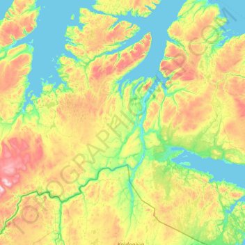
Name: Tana topographic map, elevation, terrain.
Location: Tana, Finnmark, Norway (69.81711 25.76737 70.76160 29.22597)
Average elevation: 234 m
Minimum elevation: -2 m
Maximum elevation: 1,029 m
Other topographic maps
Click on a map to view its topography, its elevation and its terrain.