
Westport topographic map
Interactive map
Click on the map to display elevation.
About this map
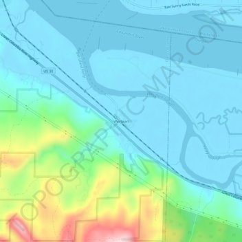
Name: Westport topographic map, elevation, terrain.
Location: Westport, Clatsop County, Oregon, United States (46.11261 -123.39485 46.15261 -123.35485)
Average elevation: 61 m
Minimum elevation: -2 m
Maximum elevation: 317 m