
Burton topographic map
Interactive map
Click on the map to display elevation.
About this map
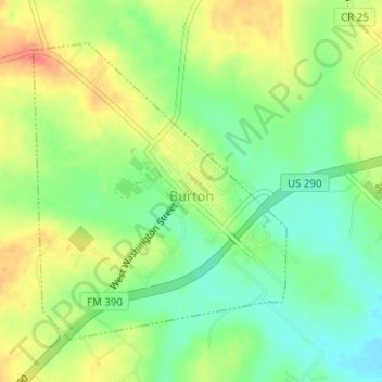
Name: Burton topographic map, elevation, terrain.
Location: Burton, Washington County, Texas, USA (30.17201 -96.60847 30.19298 -96.58775)
Average elevation: 132 m
Minimum elevation: 108 m
Maximum elevation: 159 m