
Lingampally topographic map
Interactive map
Click on the map to display elevation.
About this map
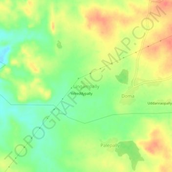
Name: Lingampally topographic map, elevation, terrain.
Location: Lingampally, Doma mandal, Vikarabad, Telangana, 501502, India (17.06882 77.80454 17.10882 77.84454)
Average elevation: 567 m
Minimum elevation: 539 m
Maximum elevation: 593 m