
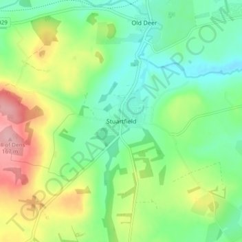
Stuartfield topographic map
Interactive map
Click on the map to display elevation.
About this map
Name: Stuartfield topographic map, elevation, terrain.
Location: Stuartfield, Aberdeenshire, Scotland, AB42 5HN, United Kingdom (57.48317 -2.06609 57.52317 -2.02609)
Average elevation: 77 m
Minimum elevation: 27 m
Maximum elevation: 170 m
Scotland trails, hiking, mountain biking, running and outdoor activities