
Fradley Junction topographic map
Interactive map
Click on the map to display elevation.
About this map
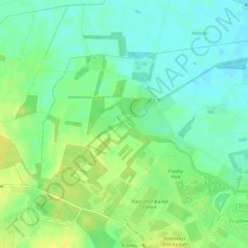
Name: Fradley Junction topographic map, elevation, terrain.
Average elevation: 64 m
Minimum elevation: 54 m
Maximum elevation: 75 m
Other topographic maps
Click on a map to view its topography, its elevation and its terrain.
Colton
United Kingdom > England > Lichfield > Colton
Colton, Lichfield, Staffordshire, West Midlands, England, United Kingdom
Average elevation: 90 m
Chorley
United Kingdom > England > Lichfield > Chorley
Chorley, Lichfield, Staffordshire, West Midlands, England, WS13 8DP, United Kingdom
Average elevation: 143 m
Elford
United Kingdom > England > Lichfield
Elford, Lichfield, Staffordshire, West Midlands, England, United Kingdom
Average elevation: 59 m