
Samarcanda topographic map
Interactive map
Click on the map to display elevation.
About this map
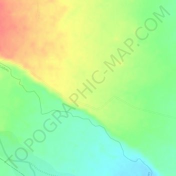
Name: Samarcanda topographic map, elevation, terrain.
Location: Samarcanda, San Luis de Cubarral, Meta, Colombia (3.76377 -73.82962 3.78377 -73.80962)
Average elevation: 540 m
Minimum elevation: 509 m
Maximum elevation: 571 m