
Grasonville topographic map
Interactive map
Click on the map to display elevation.
About this map
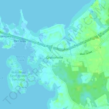
Name: Grasonville topographic map, elevation, terrain.
Average elevation: 3 m
Minimum elevation: -2 m
Maximum elevation: 12 m
Other topographic maps
Click on a map to view its topography, its elevation and its terrain.
Kimberly Park
United States > Maryland > Queen Anne's County
Kimberly Park, Queen Anne's County, Maryland, 21617, United States
Average elevation: 15 m