
Taufkirchen topographic map
Interactive map
Click on the map to display elevation.
About this map
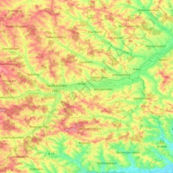
Name: Taufkirchen topographic map, elevation, terrain.
Location: Taufkirchen, Landkreis Erding, Bavaria, 84416, Germany (48.29261 12.04571 48.39814 12.24625)
Average elevation: 481 m
Minimum elevation: 427 m
Maximum elevation: 533 m