
Chase Mills topographic map
Interactive map
Click on the map to display elevation.
About this map
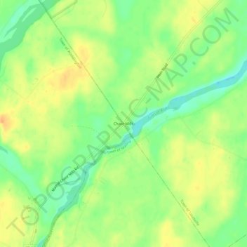
Name: Chase Mills topographic map, elevation, terrain.
Location: Chase Mills, Saint Lawrence County, New York, 13621, USA (44.82894 -75.10076 44.86894 -75.06076)
Average elevation: 82 m
Minimum elevation: 63 m
Maximum elevation: 99 m