
Pineville topographic map
Interactive map
Click on the map to display elevation.
About this map
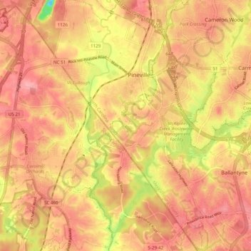
Name: Pineville topographic map, elevation, terrain.
Location: Pineville, Mecklenburg County, North Carolina, 28134, USA (35.02982 -80.91982 35.10922 -80.85396)
Average elevation: 180 m
Minimum elevation: 109 m
Maximum elevation: 212 m