
Tim Pond topographic map
Interactive map
Click on the map to display elevation.
About this map
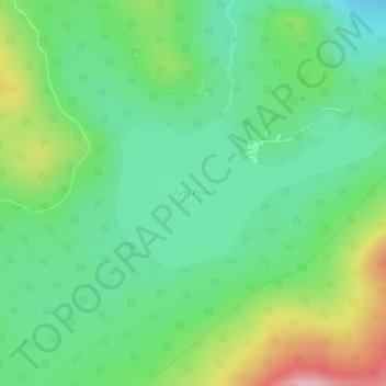
Name: Tim Pond topographic map, elevation, terrain.
Average elevation: 635 m
Minimum elevation: 574 m
Maximum elevation: 759 m
Other topographic maps
Click on a map to view its topography, its elevation and its terrain.
Tim Mountain
USA > Maine > Tim Pond Township
Tim Mountain, Tim Pond Township, Franklin County, Maine, USA
Average elevation: 793 m