
Koksan topographic map
Interactive map
Click on the map to display elevation.
About this map
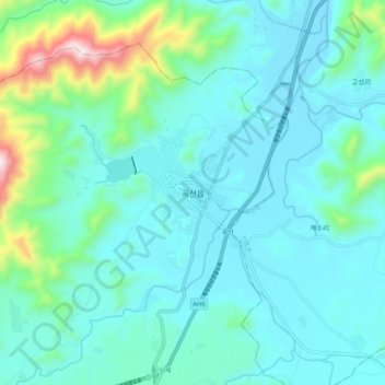
Name: Koksan topographic map, elevation, terrain.
Location: Koksan, Koksan County, Hwanghaebuk-do, North Korea (38.74145 126.63053 38.82145 126.71053)
Average elevation: 255 m
Minimum elevation: 130 m
Maximum elevation: 889 m