
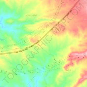
Takiah Kaka Ahmad topographic map
Interactive map
Click on the map to display elevation.
About this map
Name: Takiah Kaka Ahmad topographic map, elevation, terrain.
Location: Takiah Kaka Ahmad, Sulaymaniyah, Iraqi Kurdistan, 26000, Iraq (35.58000 44.91333 35.62000 44.95333)
Average elevation: 801 m
Minimum elevation: 719 m
Maximum elevation: 884 m