
McEwen topographic map
Interactive map
Click on the map to display elevation.
About this map
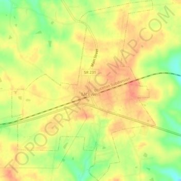
Name: McEwen topographic map, elevation, terrain.
Average elevation: 247 m
Minimum elevation: 216 m
Maximum elevation: 265 m
Other topographic maps
Click on a map to view its topography, its elevation and its terrain.
Humphreys County
United States > Tennessee > Humphreys County
Humphreys County, Tennessee, United States
Average elevation: 174 m
Waverly
United States > Tennessee > Humphreys County
Waverly, Humphreys County, Tennessee, United States
Average elevation: 182 m