
Skellefteå kommun topographic map
Interactive map
Click on the map to display elevation.
About this map
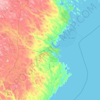
Name: Skellefteå kommun topographic map, elevation, terrain.
Location: Skellefteå kommun, Västerbotten County, Sweden (64.10984 19.34686 65.38096 22.08057)
Average elevation: 104 m
Minimum elevation: -6 m
Maximum elevation: 486 m
Other topographic maps
Click on a map to view its topography, its elevation and its terrain.