
Laurel Glen topographic map
Interactive map
Click on the map to display elevation.
About this map
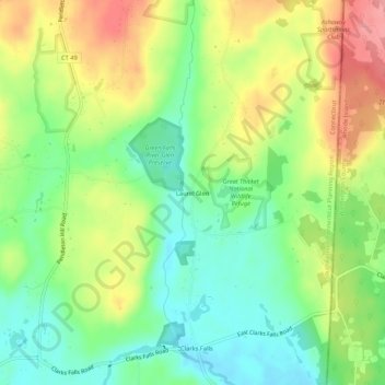
Name: Laurel Glen topographic map, elevation, terrain.
Location: Laurel Glen, New London County, Connecticut, 35778, USA (41.45232 -71.83479 41.49232 -71.79479)
Average elevation: 62 m
Minimum elevation: 21 m
Maximum elevation: 116 m