
Monte Cerreto topographic map
Interactive map
Click on the map to display elevation.
About this map
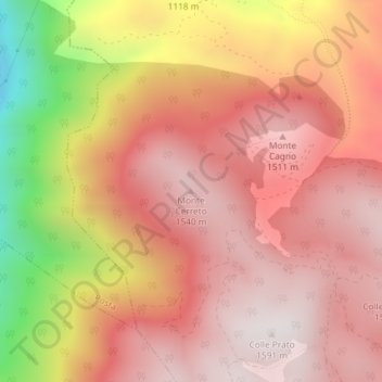
Name: Monte Cerreto topographic map, elevation, terrain.
Location: Monte Cerreto, Borbona, RI, Lazio, Italia (42.46619 13.10454 42.46629 13.10464)
Average elevation: 1,256 m
Minimum elevation: 567 m
Maximum elevation: 1,586 m
Other topographic maps
Click on a map to view its topography, its elevation and its terrain.
Colle le Cese
Colle le Cese, Borbona, Rieti, Lazio, Italia
Average elevation: 1,313 m