
Gunadala topographic map
Interactive map
Click on the map to display elevation.
About this map
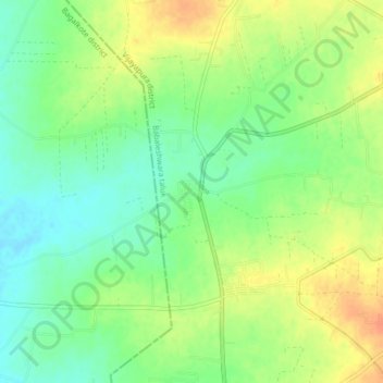
Name: Gunadala topographic map, elevation, terrain.
Location: Gunadala, Vijayapura taluk, Bijapur district, Karnataka, India (16.51615 75.47583 16.55615 75.51583)
Average elevation: 541 m
Minimum elevation: 522 m
Maximum elevation: 562 m