
Santa Bárbara topographic map
Interactive map
Click on the map to display elevation.
About this map
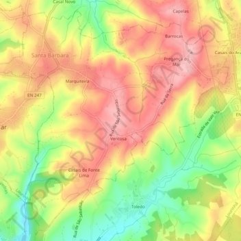
Name: Santa Bárbara topographic map, elevation, terrain.
Location: Santa Bárbara, Lourinhã, Lisboa, Oeste, Centro, Portugal (39.18541 -9.33260 39.21953 -9.28474)
Average elevation: 91 m
Minimum elevation: 5 m
Maximum elevation: 156 m