
Габеро topographic map
Interactive map
Click on the map to display elevation.
About this map
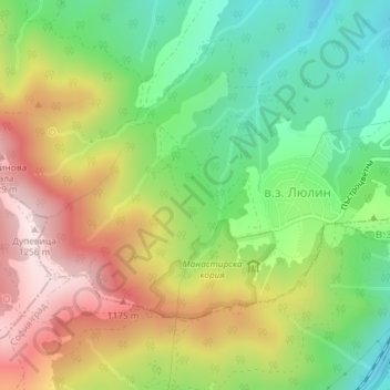
Name: Габеро topographic map, elevation, terrain.
Location: Габеро, Ovcha kupel, Sofia City, Sofia-City, 1641, Bulgaria (42.64483 23.17659 42.66483 23.19659)
Average elevation: 976 m
Minimum elevation: 766 m
Maximum elevation: 1,244 m