
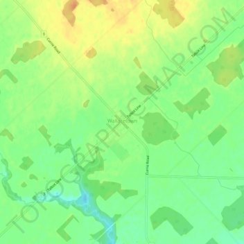
Wallacetown topographic map
Interactive map
Click on the map to display elevation.
About this map
Name: Wallacetown topographic map, elevation, terrain.
Location: Wallacetown, Elgin County, Ontario, N0L 2M0, Canada (42.61454 -81.48542 42.65454 -81.44542)
Average elevation: 217 m
Minimum elevation: 198 m
Maximum elevation: 237 m